
Walking an American Fork Street
A careful American Fork street directory search moves from the known address to the parcel, then from the parcel to records that carry names and dates. American Fork's address grid uses Main Street as the north/south origin and Center Street as the east/west origin. Direction and street-type fields therefore matter. A missing direction or unit can send a search to a different block. USPS can standardize a delivery string, but its result does not prove that a person or company is at the address.
- Write the number, direction, street, type, unit, city, state, and ZIP exactly as known.
- Search the Assessor by address, click the valid year and serial, and save the situs address.
- Open Parcel Map, inspect the parcel and adjacent labels, and note city, aerial, historic, and deed-point layers.
- Use the Recorder address form, then read the abstract and separate conveyances from liens, plats, and covenants.
- Add a dated permit, newspaper, directory, yearbook, or lawful voter-file result only when it fits the question.
This sequence keeps the American Fork street directory useful for family history, a house timeline, and civic research. It also preserves the source date for each name.
American Fork Address-Record Coverage
Address-keyed records overlap, but they do not mean the same thing. The assessor is a tax and valuation source. The Recorder is the source for recorded parties and instruments. GIS is a map layer. CityInspect can connect a project to an address when the public record is available. Elections provides a request route with city, precinct, district, and history filters, not a free street roster.
| Record set | Address clue | What it answers | Limit |
|---|---|---|---|
| Assessor | Situs, serial, parcel details | Who is assessed and how the parcel is described | Owner is not guaranteed occupant |
| Parcel Map / GIS | Polygon, layers, SITE fields | Where the parcel sits and what touches it | Reference map, not a survey |
| Recorder | Address, abstract, legal description | Recorded grantor, grantee, instrument, date | Index eras are uneven |
| CityInspect | Project or permit address | Construction or alteration clues | Exact public fields not inspected |
| Elections request | Residence city or precinct | Civic geography and permitted fields | Purpose, fee, and privacy rules apply |
Find the Parcel by American Fork Address
The Utah County Assessor real-property search takes a name, address, or serial and offers residential, commercial, agricultural, and vacant categories. The county instructions say to enter number, direction, street, and optional city, select Search, then use the green year with an ellipsis and click the serial for detail. The detail path can lead to property information, tax history, documents, abstract, serial history, parcel map, appraisal, and valuation.
The Utah County Parcel Map accepts address or common place name, owner name, city, PLSS location, and serial formats such as 12:345:6789. Turn on Parcels and Aerial Photo first. Historic Parcels, Deed Points, tax district, and City Boundary layers can explain a difficult block. Historic-date view reflects the parcel's online entry date, not necessarily its recording date. That small time distinction is one of the most useful American Fork street-directory cautions.
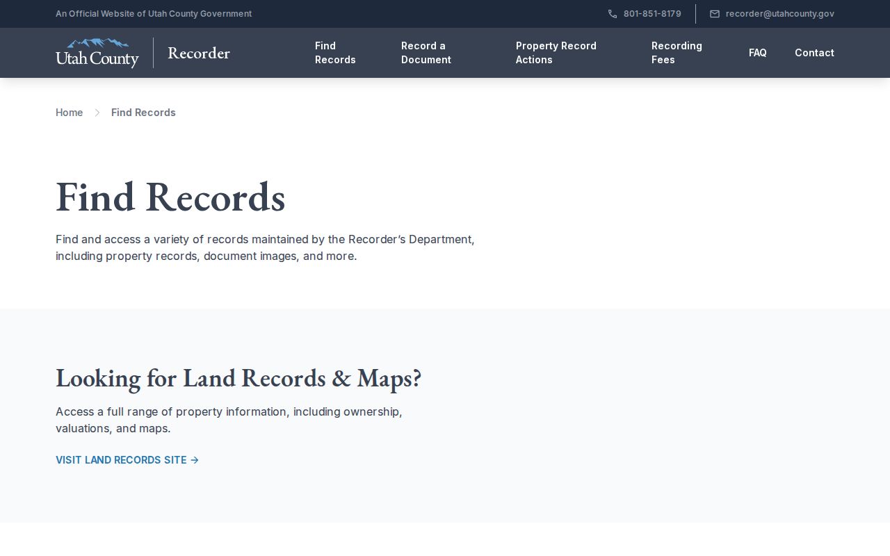
The assessor search image comes from the official county property portal. Use its serial as a bridge to the Recorder, not as a final statement about the people at the address.
Situs and Mailing Fields
GIS metadata divides a parcel into field families. Site fields such as SITE_HOUSE_NUM, SITE_STREET_NAME, SITE_STREET_UNIT, SITE_CITY, and SITE_ZIP5 describe the place. Owner fields such as OWNER_NAME, CARE_NAME, OWN_FULL_ADDRESS, and OWN_ZIP5 describe the assessed party and tax mailing route. Keep those columns separate when taking notes.
- Parcel
- A tax-mapped unit with a serial and boundary.
- Situs address
- The physical location assigned to the parcel.
- Plat
- A recorded map that organizes lots, blocks, and subdivision lines.
- Criss-cross directory
- A reverse directory arranged by street or address rather than only by surname.
The county's sample abstract shows why this matters: an association owner has an American Fork situs and a North Salt Lake PO Box. That mailing address is not a nearby household, and the association name is not an occupant. The American Fork street directory should label such a result as assessed owner and owner mailing address.
Browse the Recorder by Street
The county address form asks for Number, Direction, Street, Street Type, and City/Location, with All Records or Current Records Only choices. Begin narrow with a number and street. Broaden to the street and city if the old form is uncertain. Try direction abbreviations and street-type variations, but record which spelling produced each result. The form is a finding aid, so the abstract or document image supplies the stronger evidence.
| Address inputs | Number, direction, street, street type, city/location. |
|---|---|
| Scope | All Records or Current Records Only, where offered. |
| Deed-chain fields | Grantor, grantee, kind of instrument, entry, book, page, instrument date, recording date, and tie entry. |
| Other rows | Mortgages, liens, plats, covenants, agreements, satisfactions, and administrative entries may also appear. |
Do not treat every row as a change in ownership. A deed conveys an interest. A plat maps lots. A declaration of covenants records community rules. A satisfaction closes an obligation. Reading the instrument type is part of the street-directory task.
Read an American Fork Deed Chain
Choose one parcel serial and open its Abstract or Property Information. Copy the present owner, property address, mailing address, taxing description, and each row that might be a conveyance. Keep instrument date and recording date in separate columns. Follow the prior grantee or grantor only after checking the legal description, because a name can appear on several parcels or in a non-ownership instrument.
- Use the assessor or map to anchor the serial and situs.
- Transcribe party roles, instrument kind, entry or book/page, dates, consideration if shown, and tie entry.
- Search the prior party in the Recorder name index and compare legal description or plat.
- Branch when the row names a trust, estate, lien, mortgage, covenant, or plat instead of a conveyance.
- Compare the chain with permits, directories, newspaper notices, and historical maps before calling a person a past resident.
The Recorder's official records start in 1870, but access changes by era. Handwritten alphabetical indexing runs through January 1978. Computerized name indexing starts in January 1978. Abstract descriptions overlap handwritten or typed material through September 1985 with computerized online material from May 1980. Older work may need the county counter, Archives, or FamilySearch.
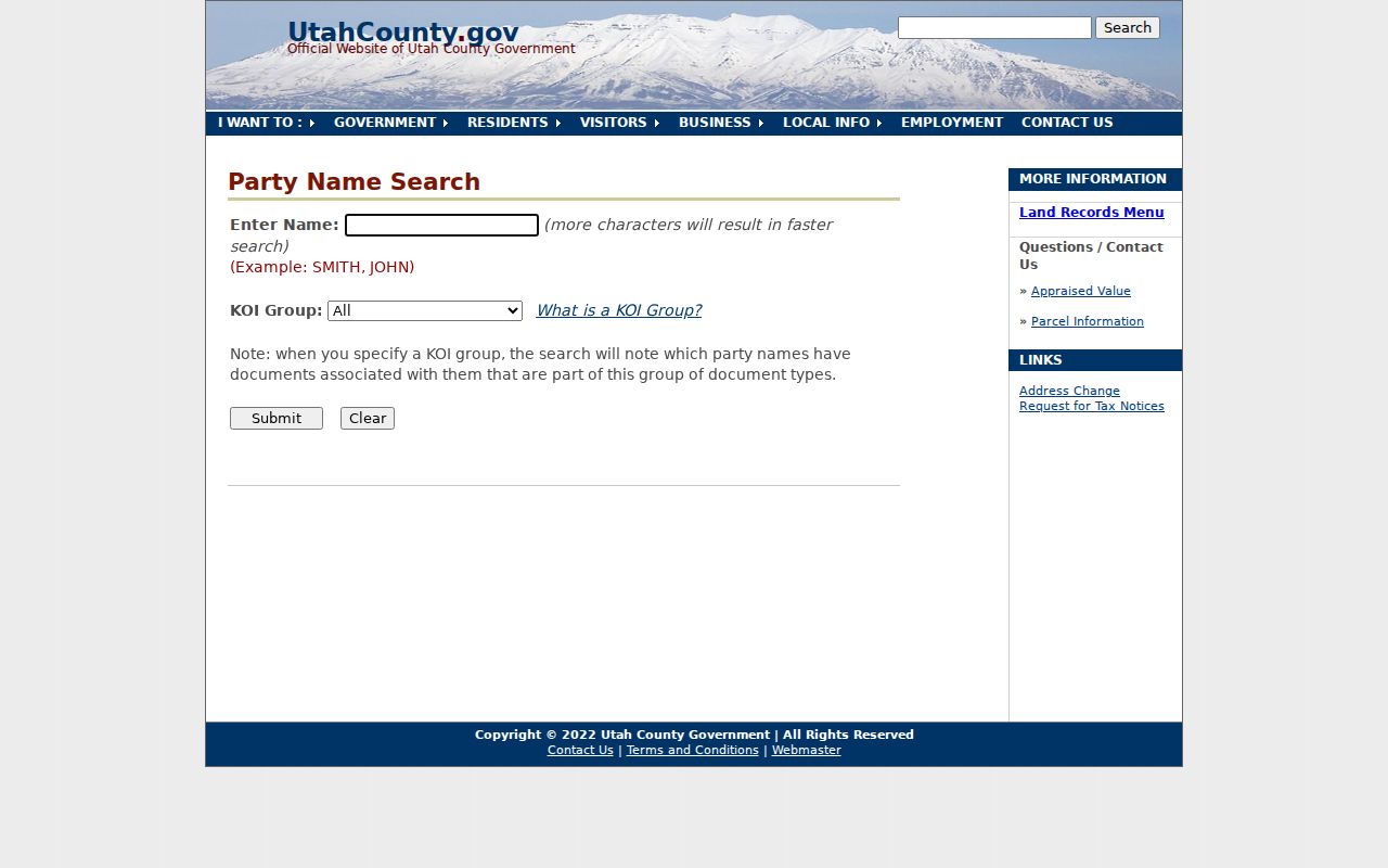
The Recorder find-records view is the source for the street index and its coverage notes. The office warns that it does not perform title searches or give legal advice.
Map Neighbors Along the Block
Parcel Map can turn one American Fork address into a block-level walk. Select the target parcel, keep the parcel polygon and aerial layer visible, then open neighboring serials one at a time. Historic Parcels and Deed Points may show context for a subdivision or an older line. City Boundary and tax-district layers help when a street crosses a jurisdiction. Measurement is approximate and the map is reference-only.
GIS REST queries expose site and owner ZIP fields, but the tax-parcel layer has a 2,000-record maximum. A long street should be split by city, ZIP, serial range, or smaller geography. Export can make a PDF layout with a title and page setup. Keep the export date because a map layer and a deed can use different clocks.
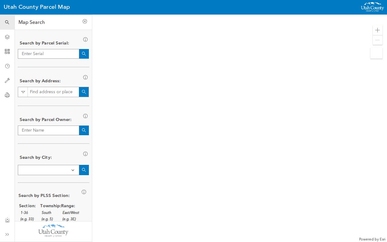
This county map image shows the geographic side of an American Fork street directory. It helps locate the next parcel, but it does not name every occupant.
Permits, Sanborn Maps, and Street History
American Fork's Building Department routes permits through CityInspect. Public project material can connect an address to an applicant, owner, contractor, inspection, or alteration date when the record is available. Planning and zoning clearance comes first, and the researched building procedure says permits expire after 180 days without inspection. The public page did not expose all CityInspect search fields, so ask the city or use a GRAMA request for a specific address, project, and date.
The 1890 Library of Congress Sanborn set has six American Fork sheets. Marriott holds a digitized 1908 local sheet. Sanborn maps show buildings, materials, uses, and blocks, not ordinary resident names. Older directory entries and newspaper notices can help pair a physical building with a household clue. The verified grid origin is Main and Center; no official source established a particular American Fork street-renumbering project or date. Investigate old names through planning, plats, maps, and directory street sections instead of guessing.
Limits of an American Fork Street Directory
A street directory cannot promise a current occupant. The assessor records an assessed party. The Recorder records a legal relationship. A mailing address can be outside American Fork. A directory is a snapshot and may omit people, list a head of household, or reflect a business or institution. Elections has no free public street-to-all-voters page, and a precinct can cover many blocks.
For civic geography, the Utah County voter request can select American Fork, precincts, districts, party, and vote history, subject to purpose, fees, affirmations, and at-risk exclusions. The May 25, 2026 SB153 change altered public voter fields, so check current county guidance. For older households, use the American Fork city directory collections and newspaper route. A dated source matrix is safer than a single unqualified name.