
American Fork Neighbor Coverage
A block lookup combines several official layers. Parcel Map answers where the adjacent polygons and serials sit. Assessor data adds an assessed name and property detail. The Recorder can show a recorded party. Elections can provide civic geography through a request. Utah's HOA registry identifies a community association by legal name or registration number. None is a complete directory of the people living on a block.
| Source | What it shows about a block | Access |
|---|---|---|
| Parcel Map | Target and adjacent parcels, serials, aerial and historic layers | Public map |
| Assessor / GIS | Situs, owner, care-of, mailing and ZIP fields | Online reference and data layer |
| Recorder | Recorded parties and instrument history | Index, abstract, images, counter |
| County Elections | City, precinct, district, party, and history fields | Request, fee, purpose, privacy rules |
| HOA registry | Legal community-association name or registration number | State search; member document rules |
The right description is “adjacent parcel” or “recorded party,” not automatically “person next door.” Save the source date and open each neighbor parcel separately.
Open the American Fork Parcel Map
Search the Utah County Parcel Map by target address, common place name, owner, serial, city, or PLSS location. Turn on Parcels and Aerial Photo, then use the polygon and neighboring labels to identify the next serial. Historic Parcels, Deed Points, City Boundary, tax district, and section/township/range layers add context. Measurement is approximate and the map is reference-only.
- Normalize the target street number, direction, street type, unit, city, and ZIP.
- Search the address or serial and record the target parcel identifier.
- Inspect adjoining polygons and write each neighbor serial without assuming identity.
- Open each serial's assessor detail and separate site address, owner, care-of, and mailing fields.
- Use the Recorder, HOA, city, or civic route for the narrower question that remains.
The GIS REST layer has a 2,000-record or selection limit. A long block or street must be divided into manageable city, ZIP, serial, or geographic segments.
The parcel-map image is linked to the county viewer. It demonstrates adjacent geography, not a household list.
Read Adjacent American Fork Parcels
GIS metadata separates SITE_* situs fields from OWN_* mailing fields. The site family contains street, unit, city, state, and ZIP. Owner fields include owner, care-of, and mailing address. A current assessed party may be an LLC, trust, estate, or association. The county's sample abstract shows a homeowners association at an American Fork situs with a North Salt Lake PO Box.
- Adjacent parcel
- A neighboring mapped tax unit, not automatically a residence.
- Owner mailing address
- The tax correspondence destination, which may be outside the city.
- Deed point
- A map layer that adds recorded-land context, not a complete boundary survey.
- Historic parcel
- A historical map view whose entry-date meaning differs from a recording date.
Open each parcel's detail separately. The Assessor can lag a recent deed or show an entity. The Recorder's abstract can show a legal party, but a recorded party is not proof of occupancy. For current block context, use the map and label every conclusion precisely.
Map Neighbors Against City Lines
American Fork's Main Street is the zero north/south axis and Center Street the zero east/west axis in Utah's address-system guidance. This helps parse directions, but the city boundary is a different layer. A subdivision, postal label, ZIP polygon, parcel, and municipal line can overlap without matching.
Compare the Parcel Map City Boundary with historic parcels, aerials, tax districts, planning, and annexation material. The ZIP boundary dataset is statewide delivery geography, not a legal city map. A neighboring parcel can share a street or subdivision while using a different postal city. The American Fork ZIP code directory explains that distinction in more detail.
The GIS layer image connects the block view to site and owner fields. Query limits and source dates should stay with any export.
Why American Fork Has No Free Block Voter List
Utah County Elections offers a public-service request with requester name, contact, purpose, party, residence city, precinct, political district, vote-history, and private-data affirmations. The county states a $5 setup fee plus $1 per 500 names and delivery up to two business days. A precinct may cover many blocks, and an address can have several registered voters. The available route does not safely turn adjacent parcels into a public roster.
County guidance describes public and protected voter fields, and at-risk designation can protect people who qualify with proof. SB153 changed voter-record treatment on May 25, 2026. Recheck the current county form and do not merge voter data with parcel names for publication. A civic-geography request is different from identifying a person next door.
American Fork HOA and Civic Groups
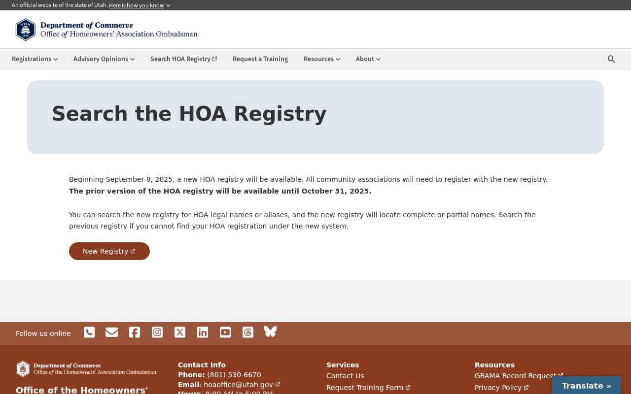
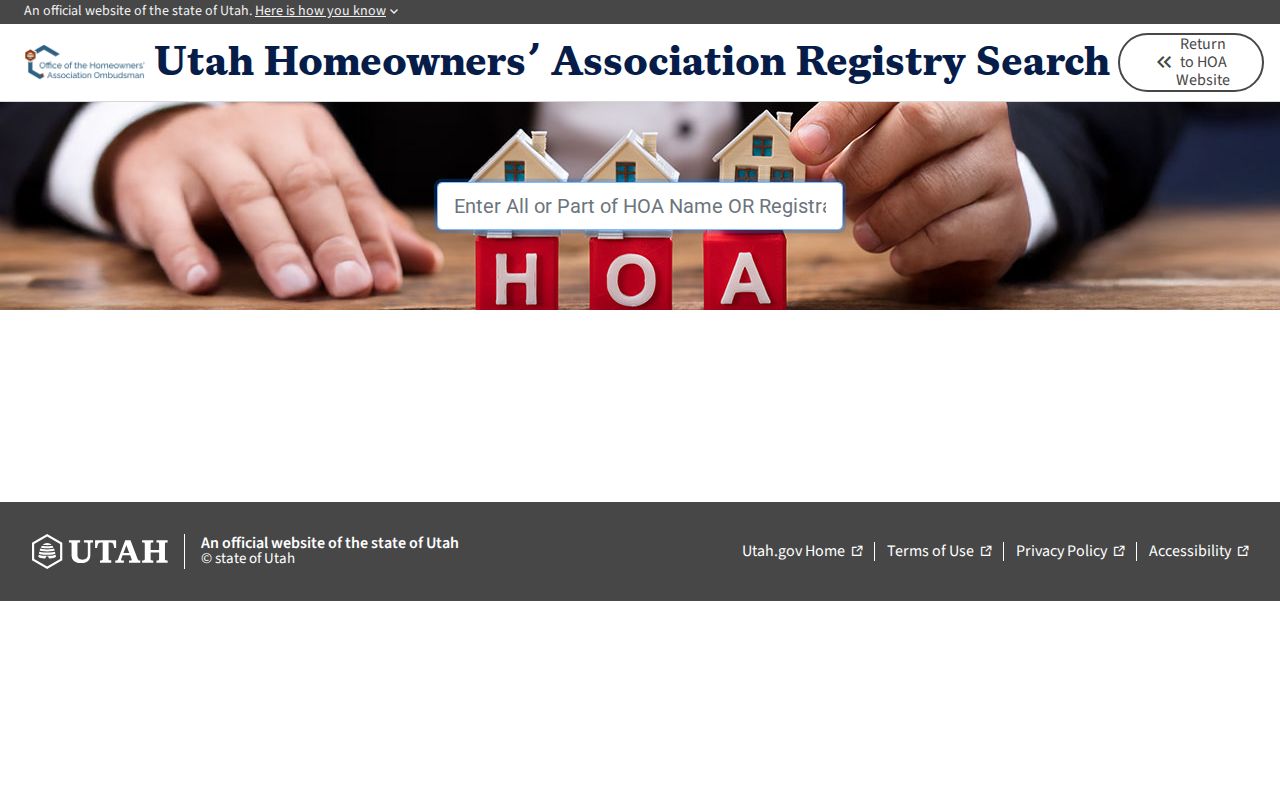
The Utah Commerce HOA registry searches all or part of a legal HOA name or a registration number. The new registry launched September 8, 2025, while the prior registry was available through October 31, 2025. Registered leadership contact information can be available through the registry. Governing documents are available to members, and the county Recorder holds CC&Rs and bylaws. This is a community-association layer, not a public list of households.
American Fork Neighborhood Watch works with a neighborhood police officer and provides a volunteer, training, and application route. The Neighborhood Preservation Committee generally meets at least quarterly and posts members. City Boards and Committees lists public civic bodies. These pages can show civic contacts or meeting records, but the researched sources did not identify a complete neighborhood-association directory covering every subdivision or block.
| HOA registry | Search legal name or registration number. |
|---|---|
| Recorder | Check CC&Rs, bylaws, plats, and recorded community documents. |
| Neighborhood Watch | Volunteer and police-contact route, not a roster. |
| Preservation Committee | Public meeting and member context, not household identity. |
Use City Records Around a Block
American Fork City Recorder records ordinances, resolutions, agreements, agendas, and minutes, with searchable meeting material reaching back to 1996 or 1997. The Building Department routes permits through CityInspect, and planning or development-review files can add address, project, zoning, or annexation clues. The public permit page did not expose all search fields.
For a specific address and date range, the city GRAMA form asks for a department, requester contact, detailed description, inspection or copies, cost cap, fee waiver, expedited explanation, signature, and date. Request an existing record rather than asking the city to create a block list. A public meeting or permit can date an address event without proving who lived there.
American Fork Commercial Neighbors
The American Fork Chamber directory at 31 N Church St can identify local businesses and organizations on a street. Utah Commerce business searches cover entities, registered principals, UCC/CFS, name availability, and related filings. DOPL offers name or license-number verification and a profession list request with ZIP, date, people or organizations, and status filters. These sources help explain a storefront or business parcel, not a household.
Keep the entity name, address, filing date, and source separate from any person record. A business principal may not live at the business address. A UCC filing is not a replacement for a county real-property instrument. The commercial layer is useful when the block has a shop, association office, or organization that changes the map's story.
Privacy Limits on American Fork Neighbors
Safe at Home gives eligible Utah survivors a substitute address and mail forwarding. At-risk voter designations, private court and vital records, juvenile material, and protected law-enforcement details can keep information from a public result. Do not try to defeat a substitute address by joining unrelated parcel, voter, court, cemetery, and social clues.
Owner, recorded party, voter, association, business, and civic records answer different questions. The American Fork street directory page handles a full named-street chain; the neighbor workflow should stay with the immediate block and community layer. Use records for lawful family, civic, safety, and neighborhood-history purposes only.